Introduction
QGIS is a popular open-source Geographic Information System (GIS) with advanced capabilities. Gary Sherman began development of Quantum GIS in early 2002, an...
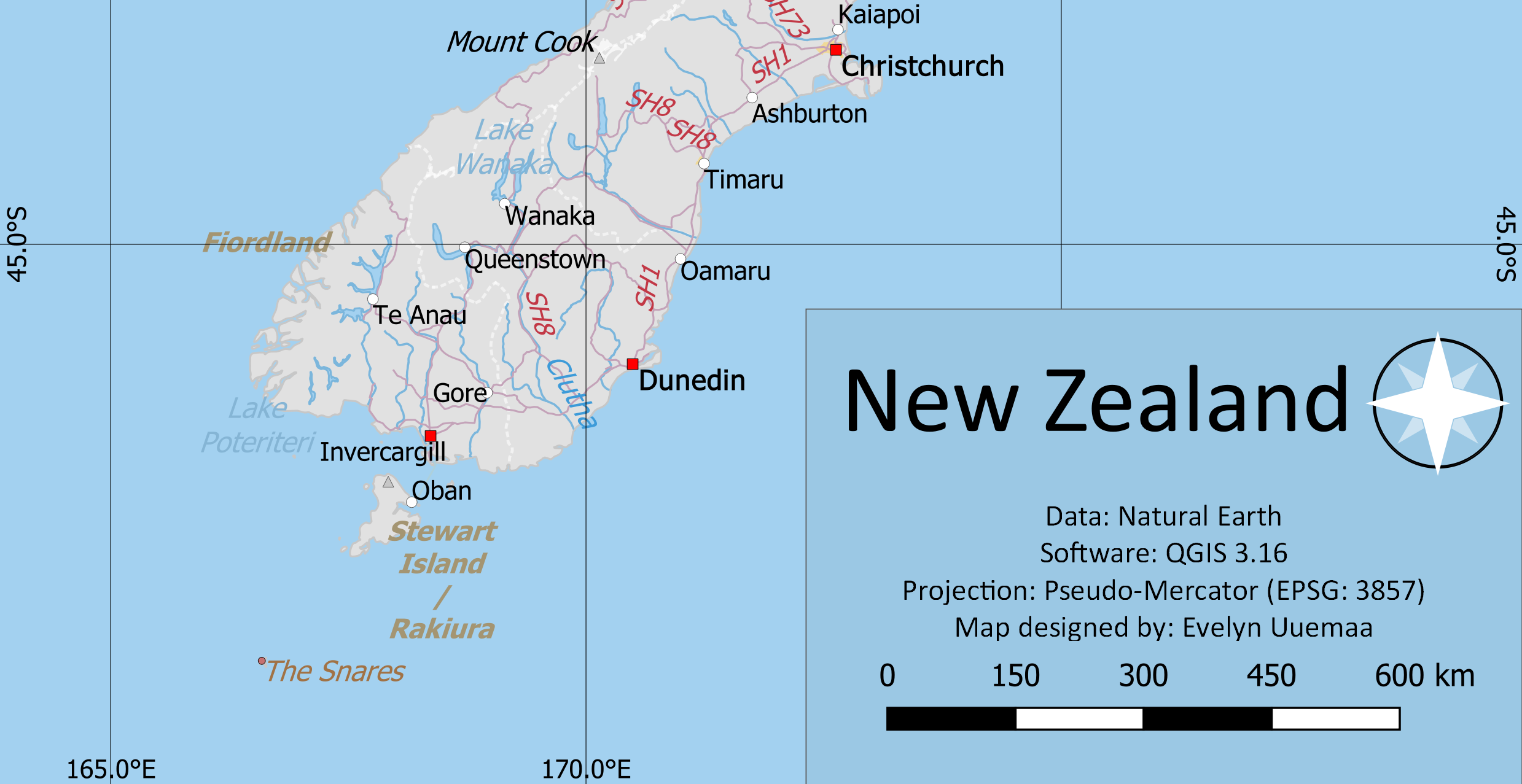
Making a map
A map is the most common output of GIS. This tutorial shows how to create a map from vector and raster data with standard map elements like map inset, grids,...
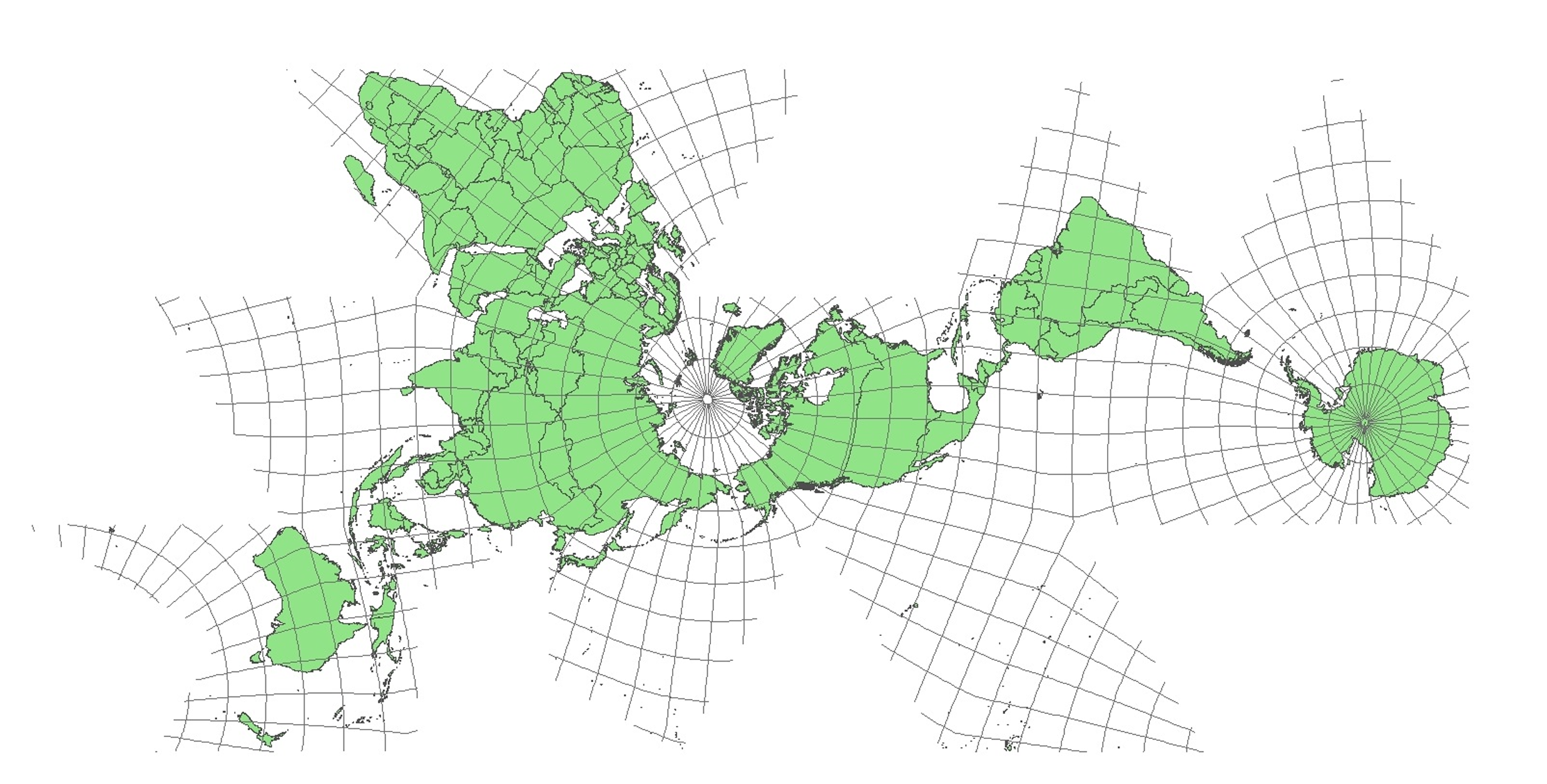
Working with CRS
Coordinate Reference System (CRS) often cause a lot of frustration when working with GIS data. But a proper understanding of the concepts and access to the r...
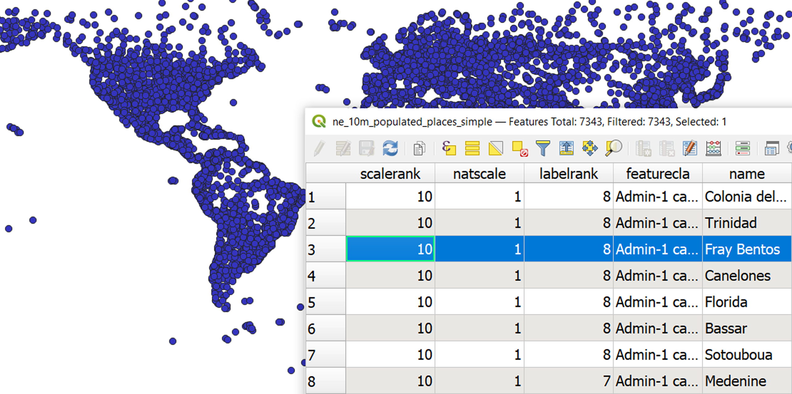
Working with attributes
GIS data has two parts - features and attributes. Attributes are structured data about each feature. This tutorial shows how to view the attributes of a GIS ...
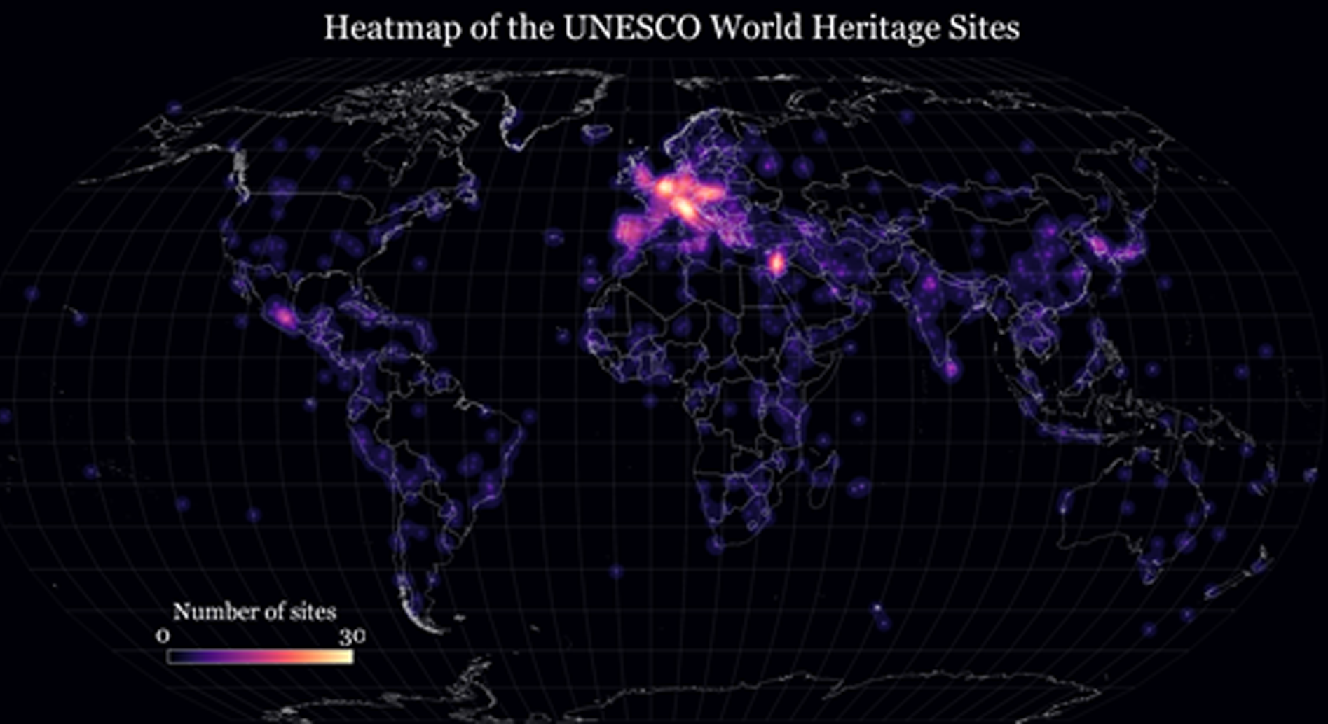
Basic vector styling
To create a map, one has to style the GIS data and present it in a form that is visually informative and also pleasing. There are a large number of options a...
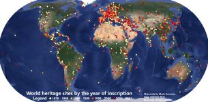
Simple vector analysis
Spatial queries and spatial joins are one of the basic analysis forms in GIS. In this tutorial, we will find how many UNSESCO WHC sites are in every country...
Basic raster analysis
Raster analysis can enable very powerful and large scale analysis. It is especially useful in different environmental applications to detect land use change,...